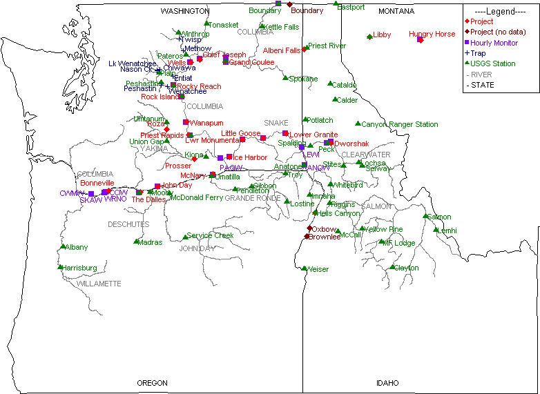
DART Map of Columbia Basin Data Collection Locations
Not all possible data collection locations in the Columbia River Data Access in Real Time (DART) database are represented on the map. Other data location information: Dissolved Gas Monitoring Network (USACE), PIT Tag Release Sites by Hydrounit Map (CBR), and PTAGIS Interrogation Sites Map (PTAGIS).
Click on a Location name on the map to view location-specific information on datasets collected and the range of years available for each.