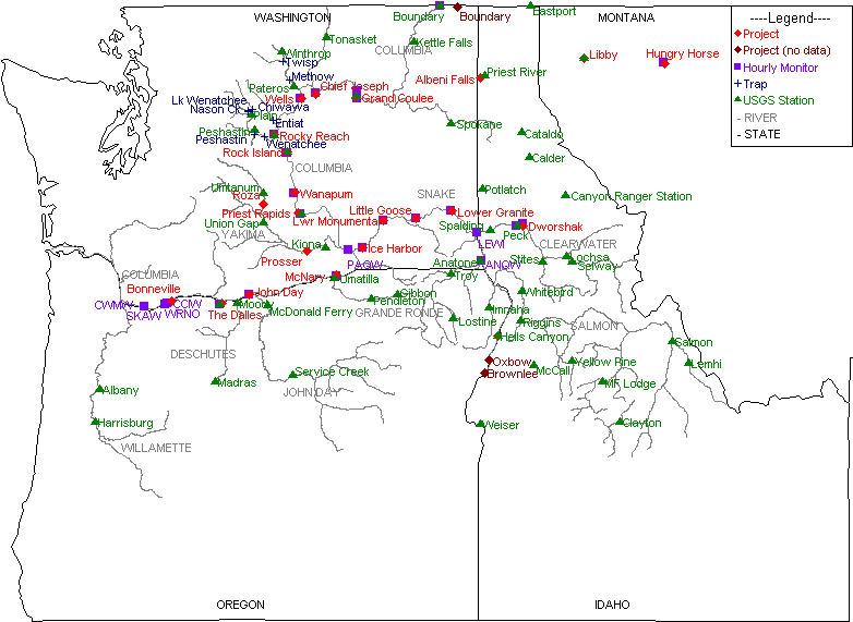
Not all possible data collection locations in the Columbia River Data Access in Real Time (DART) database are represented on the map. Other data location information: Dissolved Gas Monitoring Network (USACE), PIT Tag Release Sites by Hydrounit Map (CBR), and PTAGIS Interrogation Sites Map (PTAGIS).
Click on a Location name on the map to view location-specific information on datasets collected and the range of years available for each.