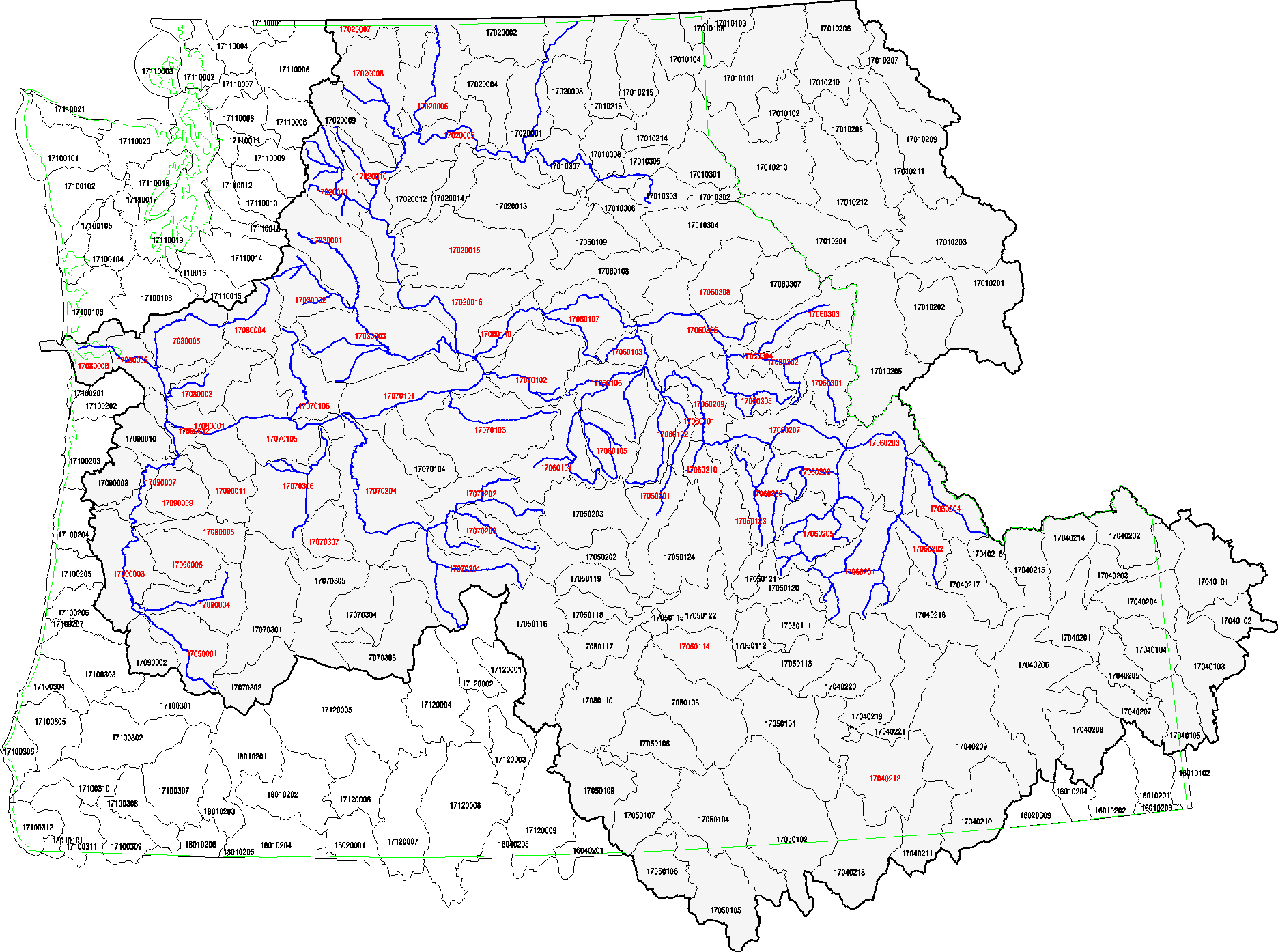
DART PIT Tag Release Sites by Hydro Unit Map

Data Courtesy of Pacific States Marine Fisheries Commission

PIT Tag Release Site Queries

Click on a Hydro Unit in red to view PIT Tag Release Sites contained within the Hydro Unit. The U.S. portion of the Columbia Basin is shaded gray. An abbreviated Columbia Basin river system is shown in blue for reference.

Hydro Unit Map

17060103 - Lower Snake-Asotin 17060107 - Lower Snake-Tucannon 17060306 - Clearwater 17060308 - Lower North Fork Clearwater 17060303 - Lochsa 17020005 - Chief Joseph 17020006 - Okanogan 17020007 - Similkameen 17020008 - Methow 17020010 - Upper Columbia - Entiat 17020011 - Wenatchee 17020016 - Upper Columbia - Priest Rapids 17030001 - Upper Yakima 17030002 - Naches 17030003 - Lower Yakima 17060102 - Imnaha 17060104 - Upper Grande Ronde 17060105 - Wallowa 17060106 - Lower Grande Ronde 17060110 - Lower Snake 17060201 - Upper Salmon 17060202 - Pahsimeroi 17060203 - Middle Salmon - Panther 17060204 - Lemhi 17060205 - Upper Middle Fork Salmon 17060206 - Lower Middle Fork Salmon 17060207 - Middle Salmon - Chamberlain 17060208 - South Fork Salmon 17060209 - Lower Salmon 17060210 - Little Salmon 17060301 - Upper Selway 17060302 - Lower Selway 17060305 - South Fork Clearwater 17070101 - Middle Columbia - Lake Wallula 17070103 - Umatilla 17070105 - Middle Columbia - Hood 17070202 - North Fork John Day 17070204 - Lower John Day 17070306 - Lower Deschutes 17080001 - Lower Columbia - Sandy 17080005 - Lower Cowlitz 17090004 - McKenzie 17090012 - Lower Willamette 17080006 - Lower Columbia 17090011 - Clackamas 17080003 - Lower Columbia-Clatskanie 17070102 - Walla Walla - Oregon, Washington 17070106 - Klickitat 17060101 - Hells Canyon - Idaho, Oregon 17070203 - Middle Fork John Day 17070201 - Upper John Day 17040212 - Upper Snake-Rock 17050114 - Lower Boise 17050123 - North Fork Payette 17060304 - Middle Fork Clearwater 17090005 - North Santiam 17090006 - South Santiam 17090001 - Middle Fork Willamette 17050201 - Brownlee Reservoir 17080002 - Lewis 17020015 - Lower Crab 17080004 - Upper Cowlitz 17090003 - Upper Willamette 17090007 - Middle Willamette 17070307 - Trout 17090009 - Molalla-Pudding

Notes on the DART PIT TAG Dataset

On a daily basis, we upload a daily file from PTAGIS, the primary source, into the Columbia River DART PIT TAG dataset. The Columbia River DART PIT TAG dataset does not include orphan tags (tags that have been detected but are not yet associated with a particular release). On a weekly basis, we synchronize the Columbia River DART PIT TAG dataset with year-to-date data from PTAGIS.

Additional Information:

Please refer to the PIT Tag and ESU Metadata & Glossary for more information about pit tag data in the DART database.